GIS is everywhere: plotting the course between GIS and Sociology
By: Halley Spencer, Christopher Conlin, Cam Zhen
UCF’s Applied Sociology program just created a new GIS track for existing and incoming students! What can a sociologist do with GIS? Here are the experiences of three sociologists and their work within the field of GIS.
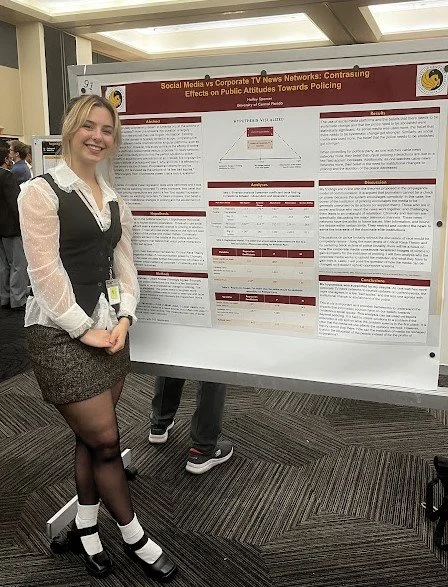
Halley Spencer, a second-year Master’s student in UCF’s Applied Sociology program, has used GIS in many different ways. She is a graduate research assistant for Citizen Science GIS, was a part of the leadership team for the 2022 NSF REU Belize trip, earned her Part 107 Drone Pilots License, and TA’s for two undergraduate GIS courses. With an award from the department for her public scholarship, Halley focuses on the ways that sociology and GIS intersect to make obscured knowledge more accessible to the public.
Despite her departmental track in sociology being in social inequalities, she has combined her skills in GIS with her research. Her thesis focuses on how major TV news programs and social media create contrasting effects on viewers’ attitudes toward controversial topics.
“But Halley, aren’t local networks less biased than Fox, CNN, or MSNBC?”
She often gets asked this question, however, many local networks are still owned by larger companies. To further research local news networks, Halley will be using GIS to create a map of the US, marking which major news companies own local news networks per major city in each state. The user of the map can type in their zip code to find what their local station is and which larger media conglomerate owns it.
Check out Halley’s line of work through her ArcGIS Storymap: https://arcg.is/5HLWe0
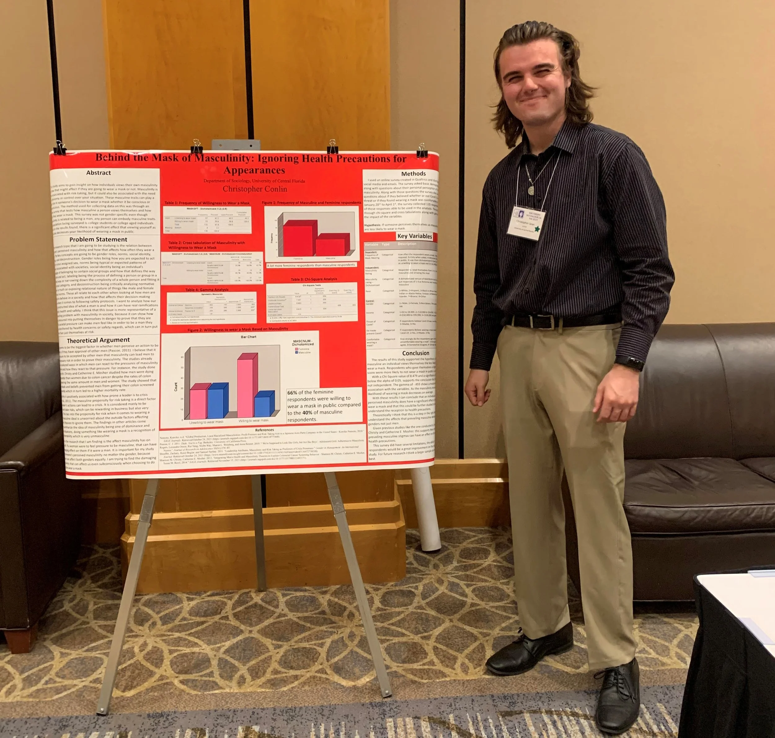
Christopher Conlin is a fourth-year sociology major at UCF and despite having never heard of GIS before entering the program he now uses it frequently between his GIS courses, personal research projects, and his internship at Citizen Science GIS.
He is currently applying to the UCF PhD program for sociology and plans to incorporate GIS into his research at the graduate level. He plans on using GIS to further develop broader social theory with a focus on medical sociology. For example, GIS could be used to analyze the differences in quantity and quality of health care services in high income neighborhoods versus low income neighborhoods and how that could affect the current average lifespan of those communities.
Cam, who is an undergraduate sociology student finishing up their final semester at UCF, has used GIS in many ways to supplement sociology research. For their sociology capstone project, Cam used GIS to research the intersection between public goods and poverty and whether income can affect one's access to services that should be distributed evenly. Their project used Census data to find low and high income areas and compared their proximity to libraries, parks, public transportation, and other public goods.
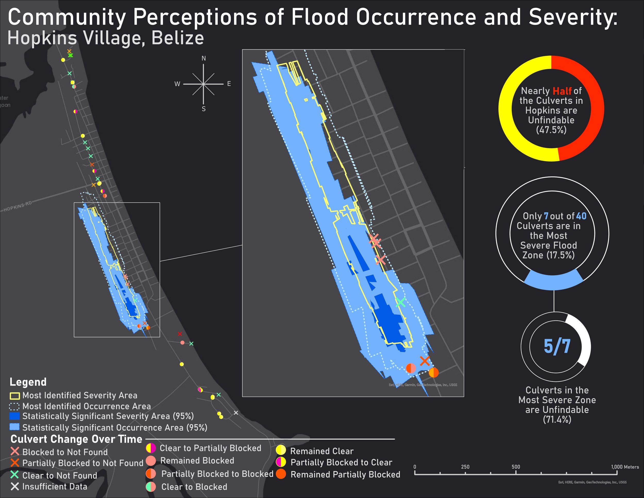
Cam has also used GIS at the NSF REU program with Citizen Science GIS to research flooding in Belize, working with a team of outstanding researchers to create an inundation model, research flooding hotspots (pictured below/above/left/right), and more.
Check out their research story map at https://arcg.is/1a59490 to see more!
Though they graduate in a few months, Cam is currently pursuing a career within the GIS industry and would be a premier hire for any employer searching for a dedicated, creative, and ambitious young mind to help achieve their mission. View their digital portfolio at https://arcg.is/0ejDGK to read more about them!
Halley, Chris, and Cam are grateful for the GIS experience they’ve gained through Citizen Science GIS & GeoBus. They are all excited to move their projects forward within the rapidly growing field of GIS. The connection of sociological knowledge and GIS creates citizen scientists, like ourselves, working towards social progress.
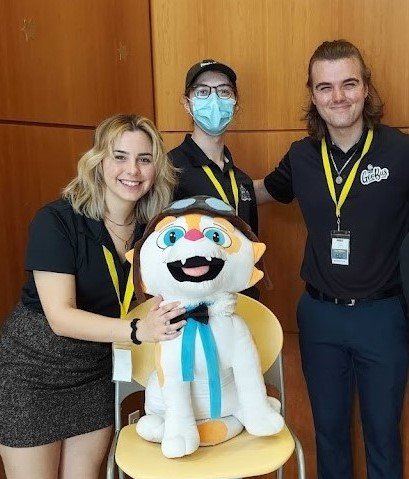
Halley (left), Cam (top), Drone Cat (bottom), Christopher (right), at the Drivers of Change GeoBus event.


