Citizen Science GIS Completes Drone Work in Alaska: "The Last Frontier"
Planning... and More Planning
"The Last Frontier" had many meanings during Citizen Science GIS's most recent trip to Alaska. Aside from Alaska's notorious nickname, this was the "Last Frontier" for researchers Dr. Bo Yang and Michael Feinman. This was the last stop on a 2-1/2 week trip where they worked with partners in Bodega Bay and San Diego, California.
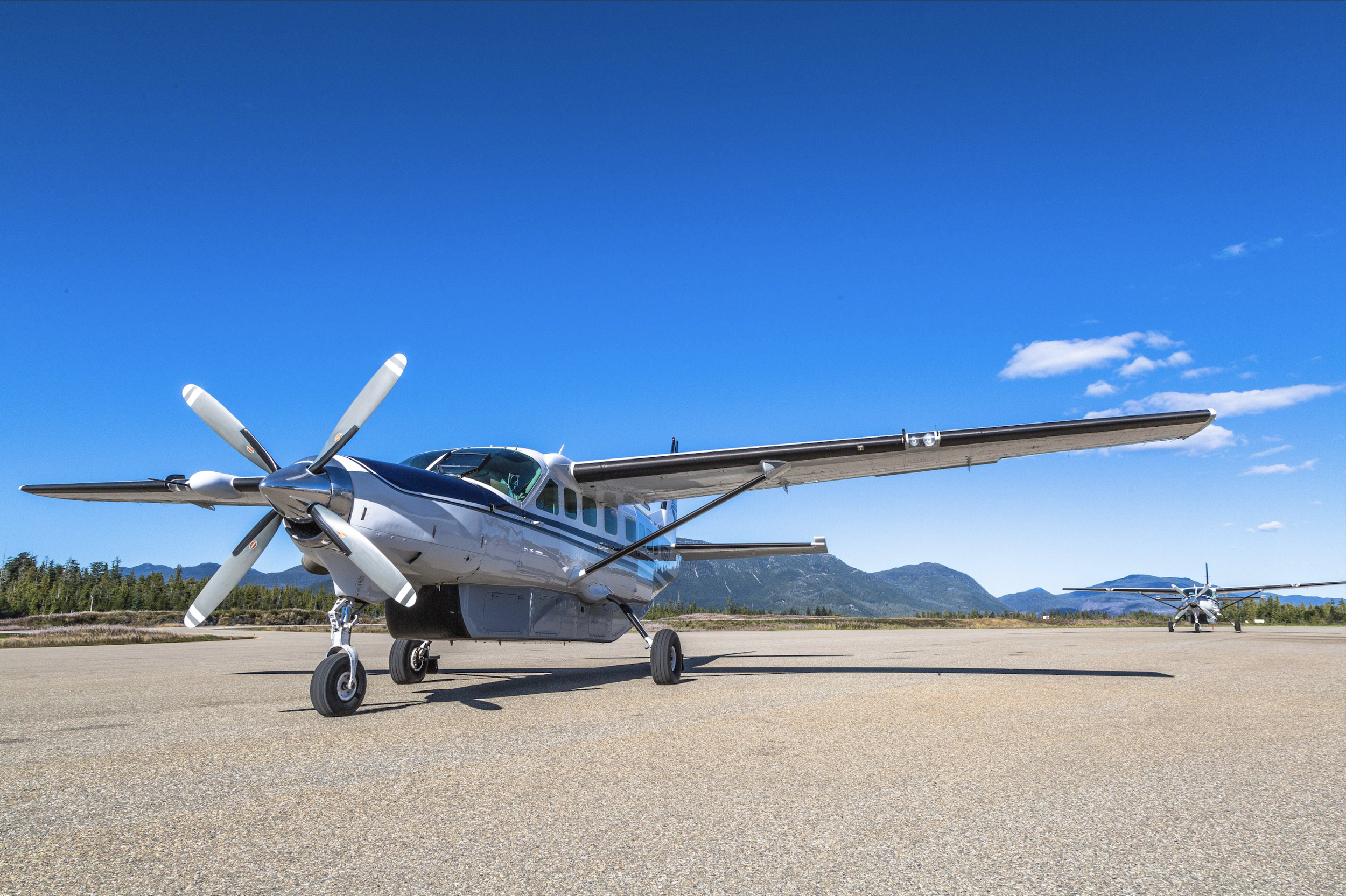
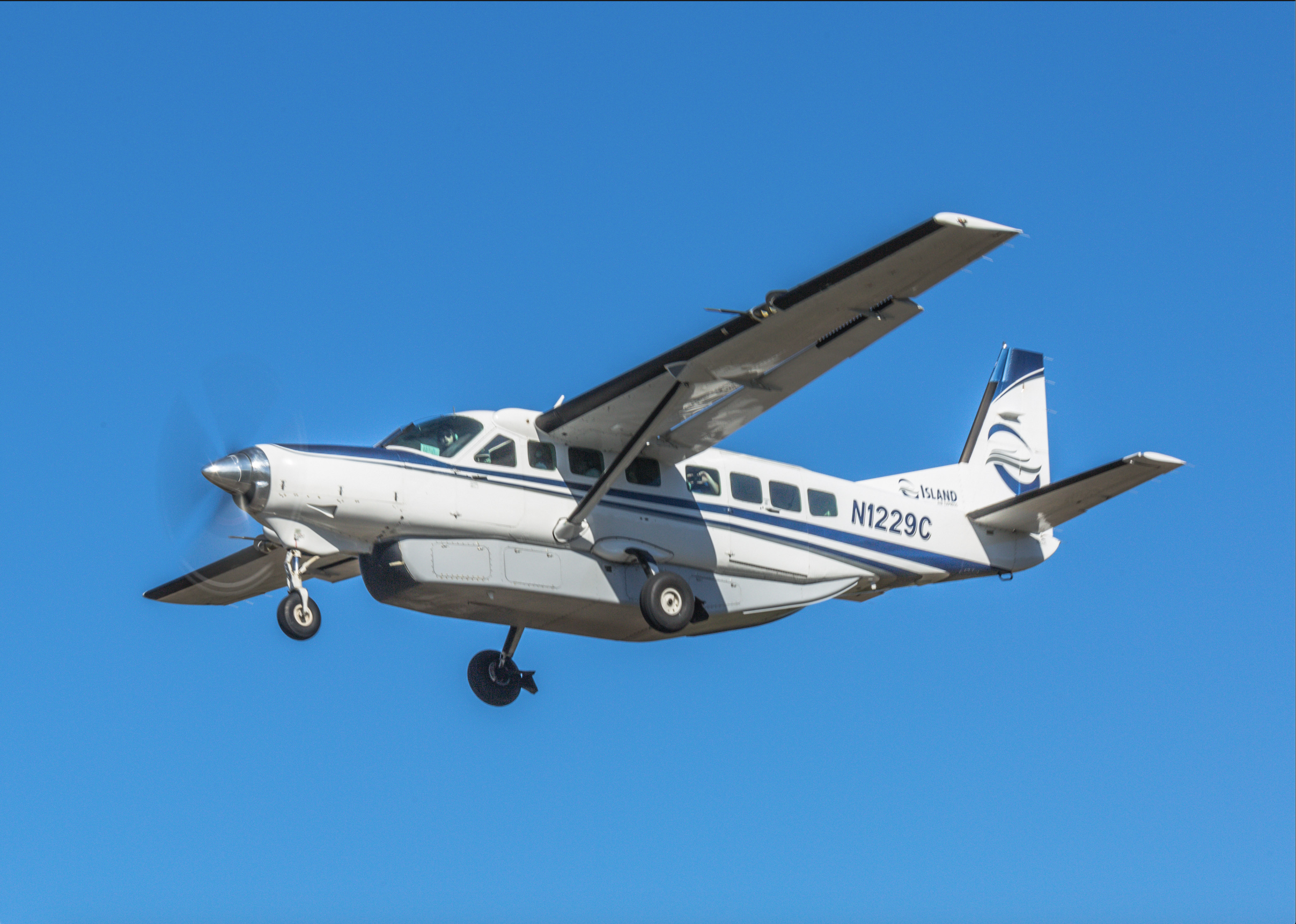
After many months of planning with the National Science Foundation, MarineGeo at the Smithsonian Institution, and the University of Alaska - Fairbanks, Dr. Yang and Feinman finally arrived in Craig, Alaska by a small, 8 passenger plane.
-

Photo Credit: Island Air Express - Alaska -

Photo Credit: Island Air Express - Alaska -

Michael outside of Plane -

Bo and Michael on plane
As soon as Yang and Feinman arrived in Craig, Alaska, they met with Dr. Ginny Eckert and her great team of researchers. This unique team is made up of high school "EarthWatchers," undergraduates, master's, and post-doctorate students.
Early Mornings are Real
Due to the tide schedule, a vigorous data and sampling schedule was created for the five days of fieldwork that Yang and Feinman were in Alaska. The typical call time was 3:00 A.M. throughout the week, and most eelgrass sites were accessed by a 1.5-hour car ride followed by a 45-minute boat ride.


Working with the Unexpected
Although six months of planning handles many details, it can't predict the unexpected. Even though Alaska's field site had a brand new drone sent prior to Citizen Science GIS's arrival, it was deemed defective. Although Yang and Feinman used a backup drone that they brought, that drone began having issues.
Below is Citizen Science GIS's #DJIFail. When dealing with the unexpected in the middle of the field, scientists improvise.
Training for Success
All University of Alaska-Fairbanks members who opted-in for drone training had a great time learning a new skill. Feinman gave each member hands-on training to operate the DJI equipment. Then, Yang instructed the group on post-processing and how to utilize data collected in the field.
-

-

-

-

-

-

-

Dr. Yang Gives Tutorial on Drone Imagery Processing at the field house
In the future, all partners that worked with Citizen Science GIS will be able to run a self-sufficient drone operation. This way, high-quality data collection can take place throughout the year.
A Photo-view into Fieldwork
Although the team worked during the early morning hours, research always came along with a smile. Documenting fieldwork through photos is extremely important for the greater good of science. Sharing this research experience with eelgrass research now could affect its survival in the future.
-

Natzuihini Orthomosaic -

Nossuk Bay Orthomosaic
A Video's worth a _______ Words
If a photo's worth a thousand words, then what's a video worth? We hope you enjoy this video which compiles drone footage from Alaska.
The Sun Sets on Final 2019 Field Site

The University of Alaska-Fairbanks field site served as Citizen Science GIS's last field site of 2019 on the NSF eelgrass drone mapping grant. Every person who made up the team of over 5 different universities, NSF, and the MarineGEO program at the Smithsonian Institution, helped to make our world a better place. This 3 year-long collaborative project will continue during the years to come.
Keep updated with everything Citizen Science GIS! We keep our Facebook, Twitter, Instagram, LinkedIn pages up-to-date. Show us your support by following our day-to-day work on our platforms.


