AAG Presentations with Citizen Science GIS
We've compiled a list of our team's presentations at AAG in DC. Hope you can join us!

Thursday, April 4
Mapping Emotional Attachment in the Indian River Lagoon Using Participatory Approaches
Assigned to Session
Authors: Merry Johnson*,
Topics: Coastal and Marine
Keywords: ecosystem, environmental, social science, emotional attachment, restoration
Session Type: Guided Poster
Day: 4/4/2019
Start / End Time: 5:00 PM / 6:40 PM
Room: Roosevelt 3.5, Marriott, Exhibition Level
Presentation File: No File Uploaded
Friday, April 5
A spatio-temporal geostatistical approach for sharpening multi-spectral satellite imagery using high-resolution UAV data
Assigned to Session
Authors: Bo Yang*, University of Central Florida, Timothy Hawthorne, University of Central Florida
Topics: Spatial Analysis & Modeling, Geographic Information Science and Systems, Coastal and Marine
Keywords: UAV; spatio-temporal modelling; Cokriging; multi-spectral; seagrass mapping
Session Type: Paper
Day: 4/5/2019
Start / End Time: 9:55 AM / 11:35 AM
Room: Harding, Marriott, Mezzanine Level
Presentation File: No File Uploaded
Using Maps, Apps and Drones to Pave the Way to the Future
Assigned to Session
Authors: Sara Peluso*, University of Central Florida, Amber Rutstein*, Citizen Science GIS
Topics: Geography Education, Geographic Information Science and Systems
Keywords: GIS, Maps, Apps, Drones, Education, STEAM, STEM
Session Type: Poster
Day: 4/5/2019
Start / End Time: 9:55 AM / 11:35 AM
Room: Lincoln 2, Marriott, Exhibition Level
Presentation File: No File Uploaded
An Investigation of Disaster Preparedness through Community Perceptions in Hopkins, Belize
Assigned to Session
Authors: Rebecca Green*, , Giselle Mahung, University of Belize, Sara Peluso, University of Central Florida, Jeremiah-Anthony Righteous Rogers*, Louisiana State University, Karla Santiago Rivera*, University of Puerto Rico in Mayagüez, Timothy Hawthorne, University of Central Florida, Hannah Torres, University of Central Florida, Christy Visaggi, Georgia State University
Topics: Geographic Information Science and Systems, Hazards, Risks, and Disasters, Quantitative Methods
Keywords: participatory GIS, community mapping, flooding, citizen science
Session Type: Paper
Day: 4/5/2019
Start / End Time: 5:00 PM / 6:40 PM
Room: 8224, Park Tower Suites, Marriott, Lobby Level
Presentation File: No File Uploaded
Local Knowledge, Sense of Place, and Coastal Restoration in the Indian River Lagoon
Assigned to Session
Authors: Hannah Torres*, University of Central Florida, Timothy Hawthorne, University of Central Florida, Fernando Rivera, University of Central Florida, Lain Graham, Esri
Topics: Coupled Human and Natural Systems, Applied Geography, Geographic Information Science and Systems
Keywords: Sense of place, local knowledge, coastal restoration, GIS
Session Type: Paper
Day: 4/5/2019
Start / End Time: 5:00 PM / 6:40 PM
Room: Senate Room, Omni, West
Presentation File: No File Uploaded
**Citizen Science GIS group dinner at 7:30 pm at The District Kitchen (closed event): http://districtkitchen.com/**
Saturday, April 6
Mapping Beach Debris in Belize with Participatory GIS
Assigned to Session
Authors: Robert Darlington*, University of Wisconsin - Madison, Elli Furukawa*, , Amber Rutstein, University of Central Florida, Sharon Huerta, Beloit College , Alexia Thompson, University of Belize, Tim Hawthorne, University of Central Florida , Christy Visaggi, Georgia State University, Hannah Torres, University of Central Florida , Kate Brandt , University of North Carolina at Chapel Hill
Topics: Marine and Coastal Resources, Geographic Information Science and Systems, Applied Geography
Keywords: marine debris, Participatory GIS, citizen science, Belize, GIS
Session Type: Paper
Day: 4/6/2019
Start / End Time: 9:55 AM / 11:35 AM
Room: Stones Throw 1 - Granite, Marriott, Mezzanine Level
Presentation File: No File Uploaded
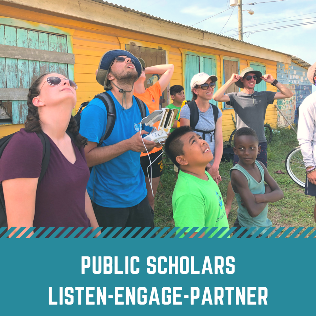
Understanding Coastal Communities with Drones and Spatial Storytelling
Assigned to Session
Authors: Lucas Farmer*, Ohio Wesleyan University, Hannah Torres, University of Central Florida, Darby Relyea*, University of Vermont, Timothy Hawthorne, University of Central Florida, Christy Visaggi, Georgia State University, Kate Brandt, University of North Carolina at Chapel Hill, Nicholas Altizer, University of Central Florida, Michael Campos, University of Belize, Patricia Bencivenga, University of Central Florida
Topics: Remote Sensing, Development, Qualitative Research
Keywords: drones, UAV, Participatory GIS, spatial storytelling, Belize
Session Type: Paper
Day: 4/6/2019
Start / End Time: 8:00 AM / 9:40 AM
Room: Stones Throw 1 - Granite, Marriott, Mezzanine Level
Presentation File: No File Uploaded
Spatial variability of the relationship between fuel use and respiratory illness in sub-Saharan Africa
Assigned to Session
Authors: Katerina Brandt*, University of North Carolina at Chapel Hill
Topics: Medical and Health Geography, Energy, Development
Keywords: energy poverty, clean cooking, respiratory illness, sub-Saharan Africa
Session Type: Paper
Day: 4/6/2019
Start / End Time: 8:00 AM / 9:40 AM
Room: Cleveland 1, Marriott, Mezzanine Level
Presentation File: No File Uploaded
Participatory GIS for Coastal Communities with Maps, Apps, and Drones
Assigned to Session
Authors: Timothy Hawthorne*, University of Central Florida, Kate Brandt, University of North Carolina, Hannah Torres, University of Central Florida
Topics: Geographic Information Science and Systems, Hazards and Vulnerability, Geography Education
Keywords: Participatory GIS, drones, Citizen Science, Open Data, Mapping
Session Type: Paper
Day: 4/6/2019
Start / End Time: 5:00 PM / 6:40 PM
Room: Washington 5, Marriott, Exhibition LevelPresentation File: No File Uploaded
