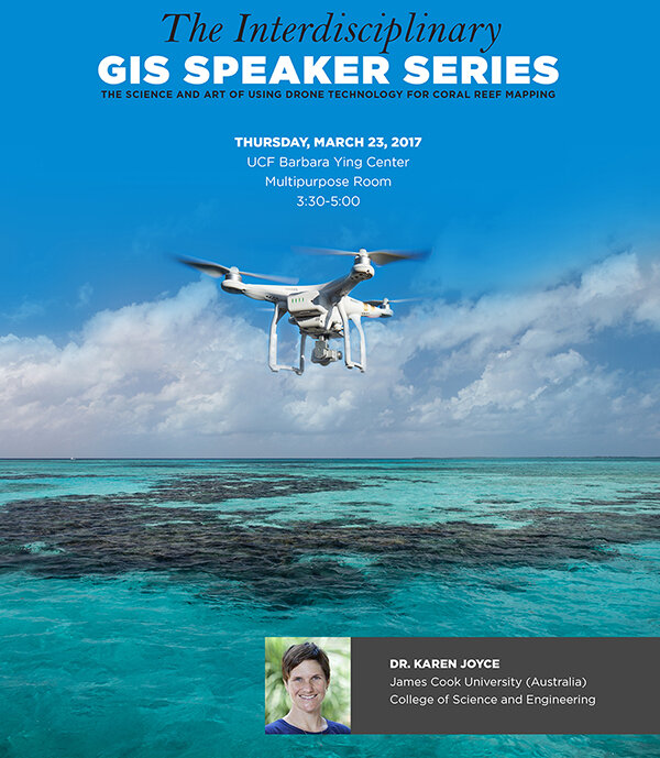
A Research and Education Conversation with Dr. Karen Joyce, James Cook University (Australia) on March 23 3:30 pm @ UCF
 The Science and Art of Using Drone Technology for Coral Reef MappingA Research and Education Conversation with Dr. Karen Joyce, James Cook University (Australia)The UCF Interdisciplinary GIS Speaker Series, the UCF Department of Sociology, Global UCF, the UCF Department of Biology, and UCF Graduate Studies are pleased to host Dr. Karen Joyce of James Cook University (Australia) College of Science and Engineering. Dr. Joyce will give an inspiring, accessible, interdisciplinary talk about drones for coral reef mapping on The Great Barrier Reef in Australia. Please share widely with your networks and students. We would love to pack the room for our distinguished international guest. The flier and her CV are attached. Also, if you are interested in meeting with her individually or with a small group of colleagues, we have a few spots in her schedule for Thursday afternoon and Friday. For more information, please contact Dr. Timothy Hawthorne at timothy.hawthorne@ucf.edu or 407.823.1030. If you utilize social media, please share with #openreef #citizensciencegis #ucfgis #sheflies. This talk is open to the university community and the general public as well.Thursday, March 23, 20173:30-5:00 pmUCF Barbara Ying Center Multipurpose RoomAbstract: While drones may at times be demonised by the media with concerns around safety and privacy, their role in environmental survey and monitoring is becoming increasingly important. Aerial and satellite imaging has long been used for survey purposes, but now drones are entering the market to provide cost-effective data capture and flexibility not achieved in the past. They are able to provide highly detailed data at a scale similar to in-situ observations, but at a fraction of the time required for more traditional field survey methods. Recent advances in technology including sensor miniaturisation now also enables drones to be mounted with a variety of different cameras and sensors, providing an unprecedented opportunity to study the environment in ways that far surpass what the human eye can detect. This presentation will describe the current status of drone technology data acquisition and processing in the context of environmental earth observations, with a particular focus on the Great Barrier Reef, Australia. It will highlight not only the benefits and challenges of working with this type of data but will provide information on a pathway for beginners to become involved through the She Flies programs and resources.

